

Project summary
The aim of the project was to trace, map and analyse landownership patterns in Kilrossanty parish in the Comeragh Mountains from 1640 until the 1850s and how this has resulted in the development of physical and cultural boundaries in this marginal, upland landscape.
The objectives to achieve this aim were to evaluate the relevant historical documentary evidence relating to the area and its landowners for this time period; to produce a series of GIS maps illustrating the temporal physical changes in landownership in relation to the upland topography and to map the ethnicity of the landowners. This original research enabled an exploration into how the imposition of English colonial authority affected the distribution of land and power and the creation of inequality in landowning and society.
Project activities
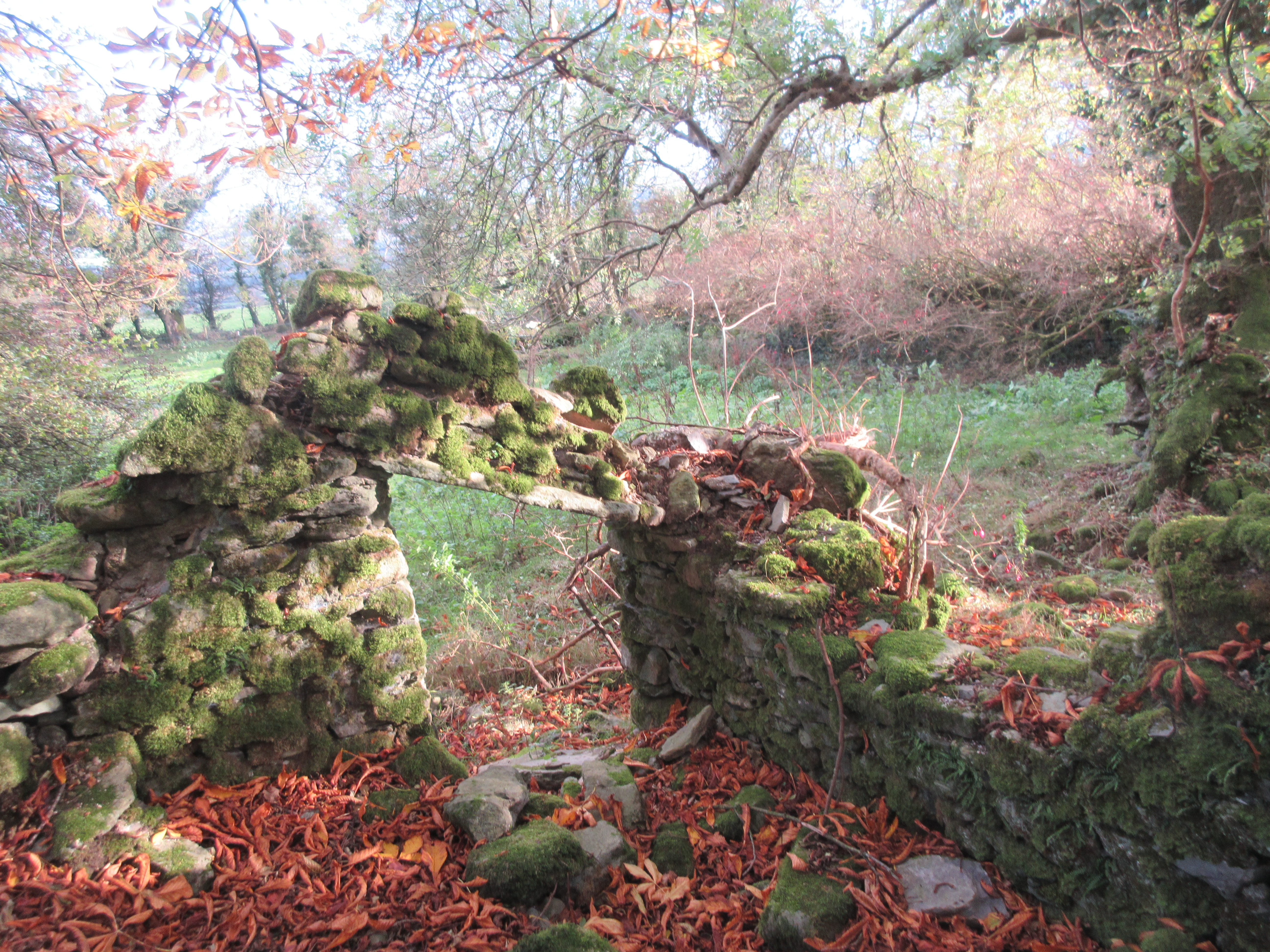
The research project was carried out in tandem with a study funded by the Irish Uplands Forum as part of their Research Grant, 2018. The aim of this complementary research was, by using GIS, establish the temporal physical change of settlements, outlining their growth, decline or disappearance as well as their position within the upland landscape of Kilrossanty parish using historic Ordnance Survey maps and comparing them with present day aerial photography and cartography. A number of examples of settlement patterns in the area were highlighted and deserted settlements identified. There has been tangible overlap between the two projects. This is the first time that the settlement patterns in this marginal, rural landscape have been examined in this way.
Background
Unique in Western Europe to be a colonised nation rather than the coloniser, the infiltration of English colonisers to Ireland is reflected through the landowning pattern, and their imperialist attempt to extract as much wealth as possible from the colony whilst creating inequality in social relationships (Smyth, 2006)[1]. This study offers a portrayal of the wider colonisation of the country and the accompanying seismic political and cultural shifts of its “geographical reconstruction” (Smyth, 2006; ibid) by examining the ownership and dispossession occurring in one small marginal corner of the country.
The beginning point of 1640 marks the creation of the first comprehensive landownership records, at a time of seismic change of seizure of land and power from the indigenous Gaelic Irish. By the 1850s, the relinquishing of the English coloniser’s hold on the power and landholding structure has just begun, with a number of Gaelic Irish landowners returning to the scene. The comprehensive Griffiths Valuation serves as the documentary resource which provides the landownership detail for this period. There is, unfortunately a lack of documentary sources relating to the intervening period of the 1700s; whilst glimpses are made of the connections bridging the 1600s and 1800s, information gaps still remain.
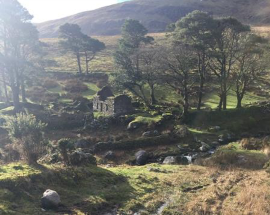
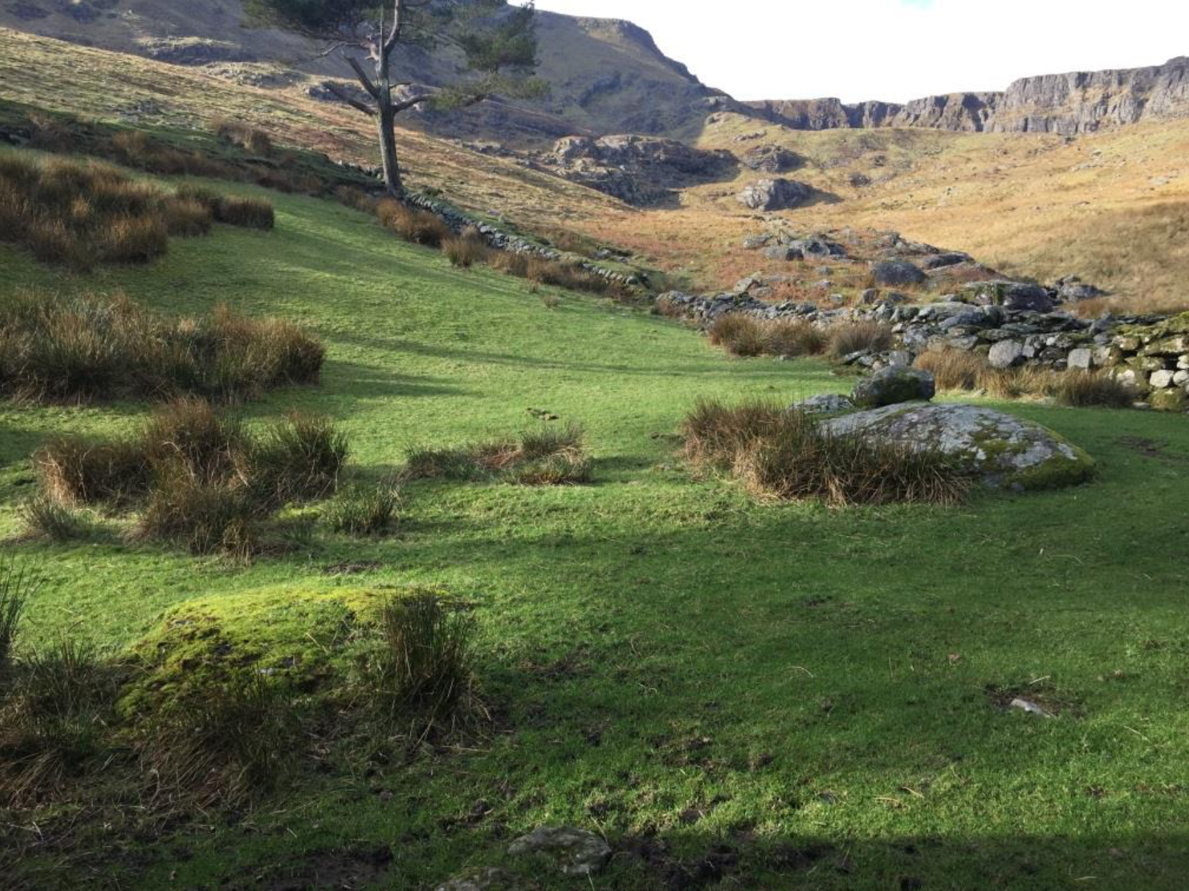
The Gaelic Irish were not passive vessels, succumbing to the English infiltration without any resistance. The rebellion in 1641 is a prime example of the fight for control over the landscape between the ethnic groups with the subsequent Protestant depositions presenting human voices offering invaluable accounts of the total conflict. In the full piece of research, the role Kilrossanty parish played in this fundamental historical event is explored. Despite being excluded from power and ownership for centuries, the resilience of the indigenous population is explored, with discovered glimpses of their existence in the higher altitudes of the mountain, in areas disregarded by the English authorities as unworthy of official mention.
Emily’s research is currently awaiting publication, so cannot be printed here in full.


[1] Smyth, W. (2006) Map-making, Landscapes and Memory: A Geography of Colonial and Early Modern Ireland c1530-1700. Cork.
Applicant: Emily Shakespeare, Waterford Institute of Technology, Republic of Ireland